
Today I guided 2 people up the three mountains of the Tupper Lake Triad. The weather was looking questionable with a forecast of on and off showers all morning and possible thunder storms in the late afternoon. I was hopeful that we'd be able to get off the peaks before the thunder happened, and we did. We didn't stay dry though, about 1/2 of our hiking was in drizzle to light rain, but it was a fun experience for all.
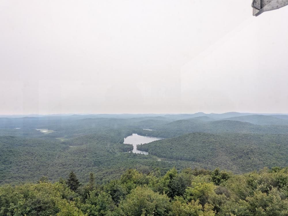
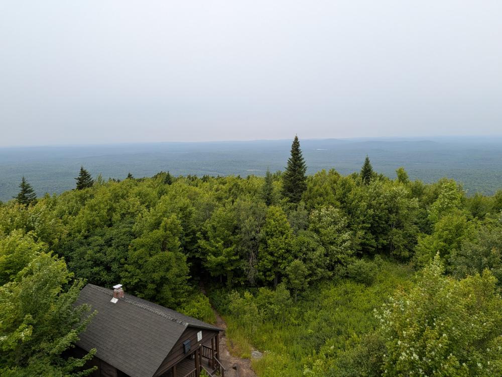
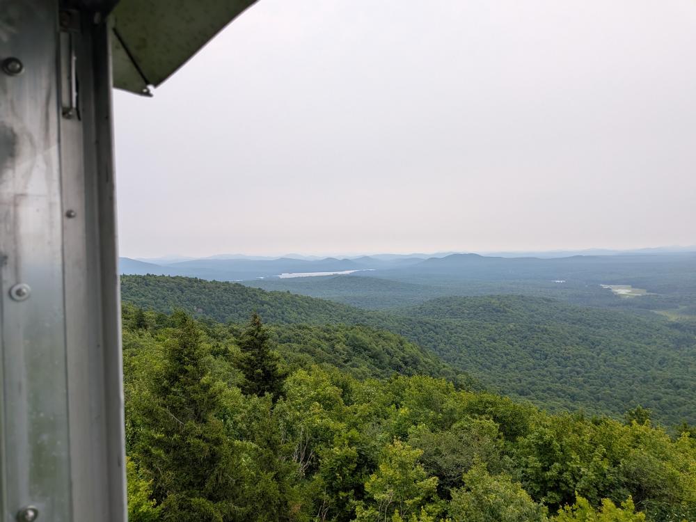
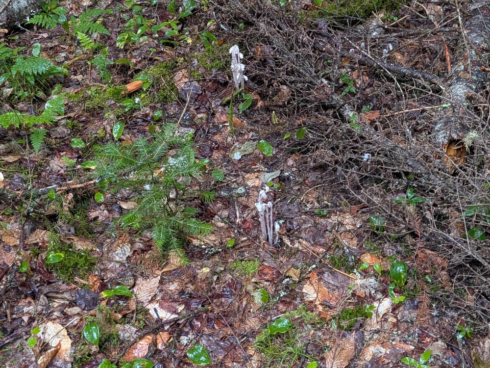
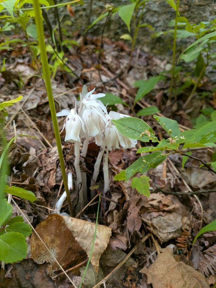
We started the day off at Mt. Arab. This is a nice mile hike in with about 750 feet of elevation. The trail is in great condition as the DEC has seen the importance of this peak and the number of visitors it gets. The hike up was pretty dry as we had only had a couple showers pass through before and when we started. By the time we got to the fire tower on top, it was pretty clear, but super windy. I say pretty clear because there was some obvious haze from the wild fires in Canada. We spent a few minutes on top, looking at the view and comparing what we were seeing to what was on the boards in the tower. Then we went around to the 2 benches that overlook Mt. Arab Lake, and wandered down using one of the alternative trails on the top. It was good that we did that as we saw one of my favorite plants, the Ghost Pipes!
We then traveled over to our next peak, Goodman, a 1.5 mile hike in with 615 feet of elevation hike in. This is one of my personal favorite hikes because of the views I got when I did it just before the start of winter, after all the leaves were down. Today, it was rainy the whole way up. Nothing major, but it was wet. Again, this trail was in pretty good condition, and we had the summit to ourselves for a few minutes before someone else showed up. Then, it was almost like a conga line of people as we were going down. It seems like a few groups of people from Fort Drum were in hiking. In the parking lot as we were leaving a group wearing American flag shorts was getting ready to go up. Goodman was definitely busy.
Finally, we went the mile down the road to Coney. This is the roughest of the 3 trails but only 1 mile and 560 feet of elevation to get to the top. The trail was wet, with a few standing puddles, but overall, it was in pretty good condition. Of the 3 peaks, this trail is more like the typical ADK trail. Rocky, some erosion, and a long slab at the end. But the top has a 360 view that is a fine reward for the climb up. We got lucky, the rain had stopped shortly before we got to the top. The views were hazy. As I found out the AQI was heading into the red as we were hiking that mountain, or just shortly after, but with the recent rain it wasn't noticeable quality wise. It was also fun to see a bunch of wispy clouds and fog moving in and around the surrounding mountains. Not quite the same as seeing an inversion, but still neat to see. And as a nice surprise, the blueberry bushes on top had berries that were ripe. I grabbed a few and it was a lovely reward.
