
One of my personal goals is to hike every mile of trail in the High Peaks Wilderness. This is known as Red Lining, and I've hiked most of the miles to get to the peaks, but there is still a lot of low trails that I haven't hiked yet. This hike was to hit some of the low trails. The long term benefit of this is that I gain experience of those trails, so if requested to guide in that area, or someone wants to do something other than peaks, I can speak from experience and not just what I read in the guide book.
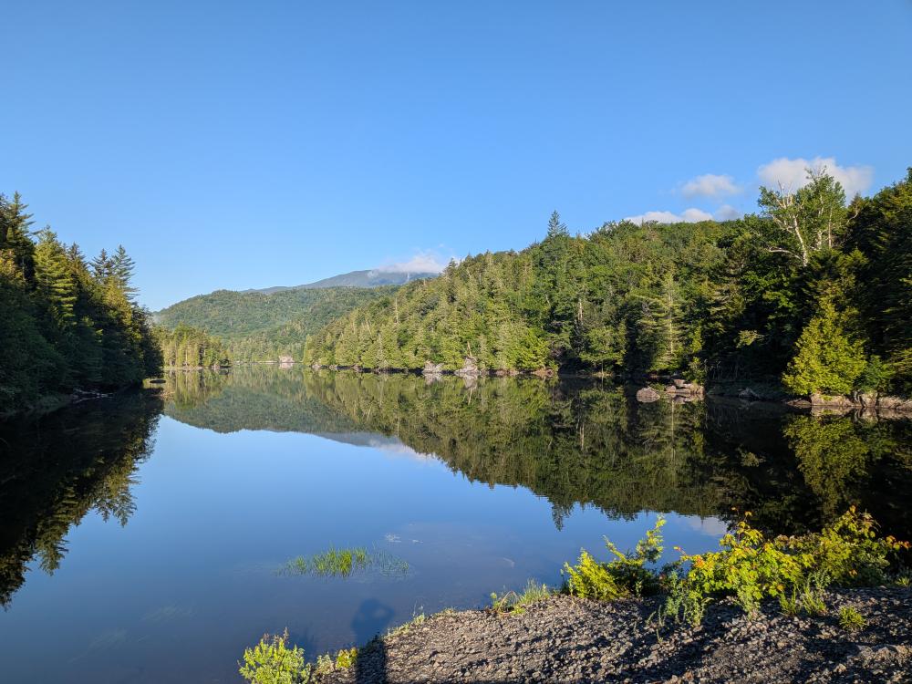
This hike was a nearly 20 mile loop. I parked at the Santanoni trailhead and walked up the road to the old blast furnace. From there, I took the OSI trails up to the trail register for the Calamity Brook trail. The OSI maintained trails a nice, and there are historical markers talking about why the area is called Upper Works, and the story of the mining that happened in the 1800s.
I started down the trail and quickly took a turn over to see the dam at the end of the Henderson Lake, then back to the trail where it slowly changed from a gravel road to muddy trail. I then took the crossover trail to Indian Pass. This trail was obviously very poorly traveled, which is a nice change of pace for me. The trail was soft under foot, and it was narrow at points. It was highly marked though, which was helpful in a few spots. There really isn't much reason to use this trail unless you are going to the Flowed Lands from Indian Pass.
When I got to the Indian Pass trail, I did a little scouting for a future trip and looked at the Indian Pass Brook crossing. The bridge has been out for a while, and the hike was a day or so after a rain, so the water was high. It looked like it was crossable, but you would be getting wet. A quick jaunt down to the Preston Pond trail had a stop at the lean-to which looked to be in good shape.
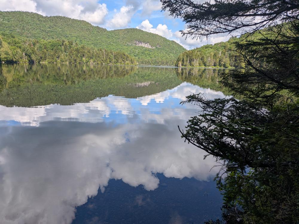
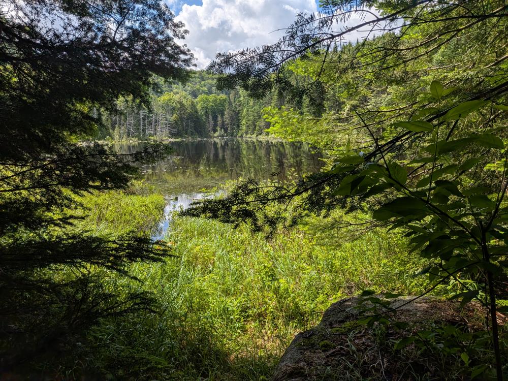
The hike to Duck Hole via Preston Ponds was a gorgeous hike. This trail had more use than the crossover trail, and overall was in pretty good shape. The small spur over to Henderson Lake was worth it with beautiful views of the lake. Upper Preston Pond was lovely, but Hunter Pond was my favorite point along the trail, although the initial views of Duck Hole with Henderson Mt. behind it were picturesque.
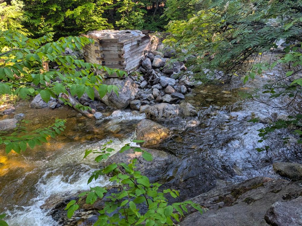
Then it was a quick, half mile jaunt down the Northville Placid Trail (NPT). Along that stretch is a beautiful, relatively new lean-to that would be a delight to stay at. Then the trip turned. I got to the old dam at Duck Hole. This was washed out with Hurricane Irene in 2011. I knew this and I didn't see anything in planning that would make me think I should be concerned with that crossing. Well, like the Indian Pass Brook this is a difficult crossing in high water. I was able to do it and kept mostly dry, but it involved scouting a bit down river to find a shallow and wide enough place to cross safely.
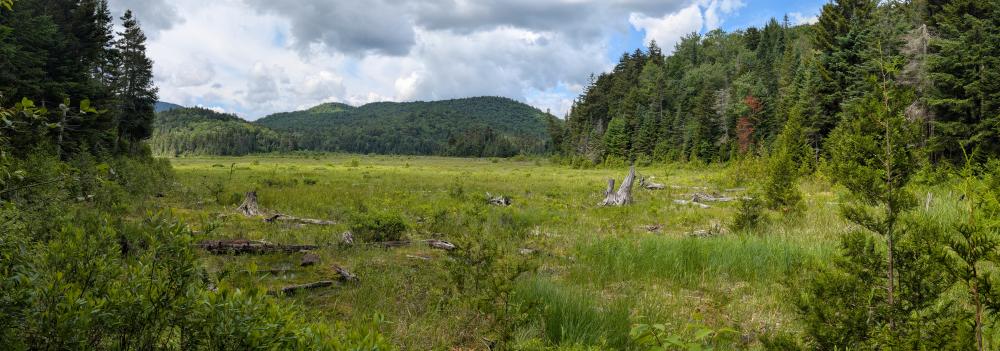
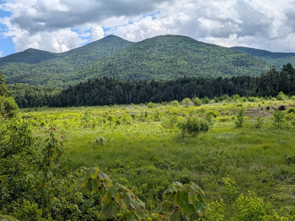
That was the start of a very rough 4 miles. The trail from there to Bradley Pond hiked a lot like an abandoned trail. There was a bunch of blow down. This was mentally one of the most difficult 4 miles I've hiked. The trail itself wasn't horrible by Adirondack standards, but the combination of the lack of maintenance after a difficult water crossing just mentally made it difficult. You could not believe how happy I was when I got to the Bradley Pond camping area. I was back to trails that I was familiar with, and knew what to expect (about 1.5 miles of on and off mud with lots of water followed by 0.5 miles of decent trail and 2 miles of road)
So, some new trails were scouted out, and I now know of more places to recommend to people, especially if they're looking to do some backpacking. It was a successful day overall.