
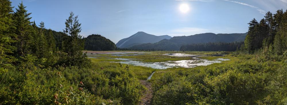
I took a trip up Marshall and out via Indian Pass in part because I saw reports the trail was clear and the river was low, and in part because I haven't hiked about 7.5 miles of the trails (about 1/2 of the planned route). I got lucky, it was a beautiful day to hike, and I saw some of the most amazing landscape I've ever seen.
The hike itself was pretty straight forward. Started at upper works and took the Calamity trail in to Herbert Brook. Overall, this trail is in great shape, big thanks to the 46ers trail crew for all the work they've done on this trail over the past few years. I suspect there will be a few more years of work to come, but compared to how it was in 2020 (the last time I hiked it without snow), it is a vast improvement. Some mud here and there, but overall, dry and quick.
At Herbert Brook, we took the herd path up to the top of Marshall. This is just a dream hike for me for most of the way up. The green, the moss, the water... just beautiful. To help, the mud was minimal until I took a wrong turn. At the point where you're at the col and you turn left to go to the peak I stepped off the herd path without knowing it, and bam, one leg was knee deep in loose, wet mud, and I'm hugging a tree. I honestly would rather have a spruce trap that that again. I've been hiking in the high peaks since the early 90's and this is the first time that has happened to me. I honestly would rather have a spruce trap that that again. I extricated myself, and found I had a couple abrasions on my arm, and they were sore. Since I wasn't really bleeding, and I was sweating up real good, I didn't bother to dress them. But I did feel every small branch that hit them, and when I got home, I noticed a big bruise forming.... that as the day has gone on gotten darker... what is it with me and deep bruises?
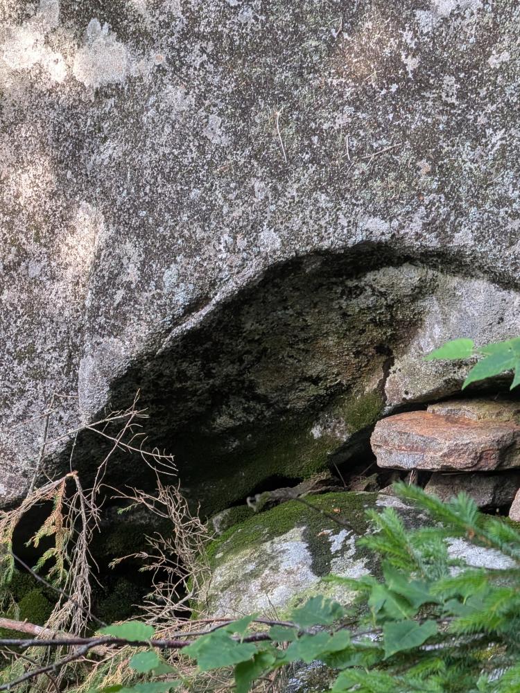
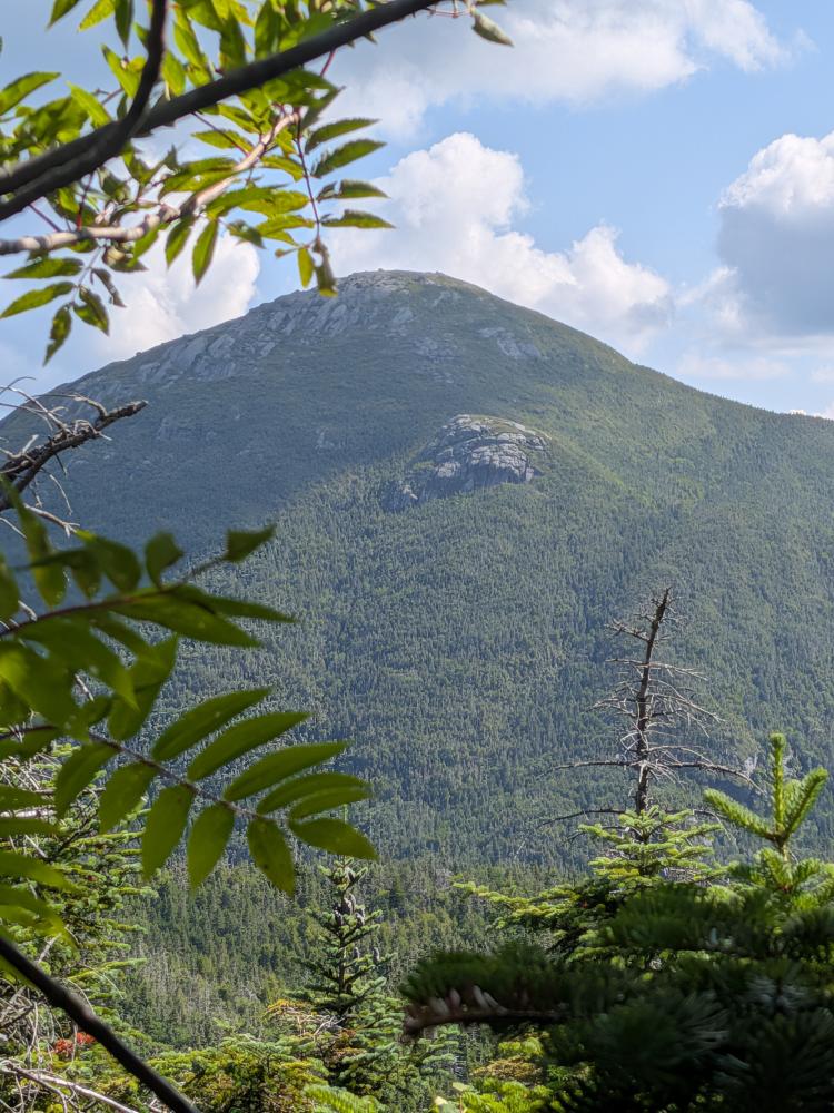
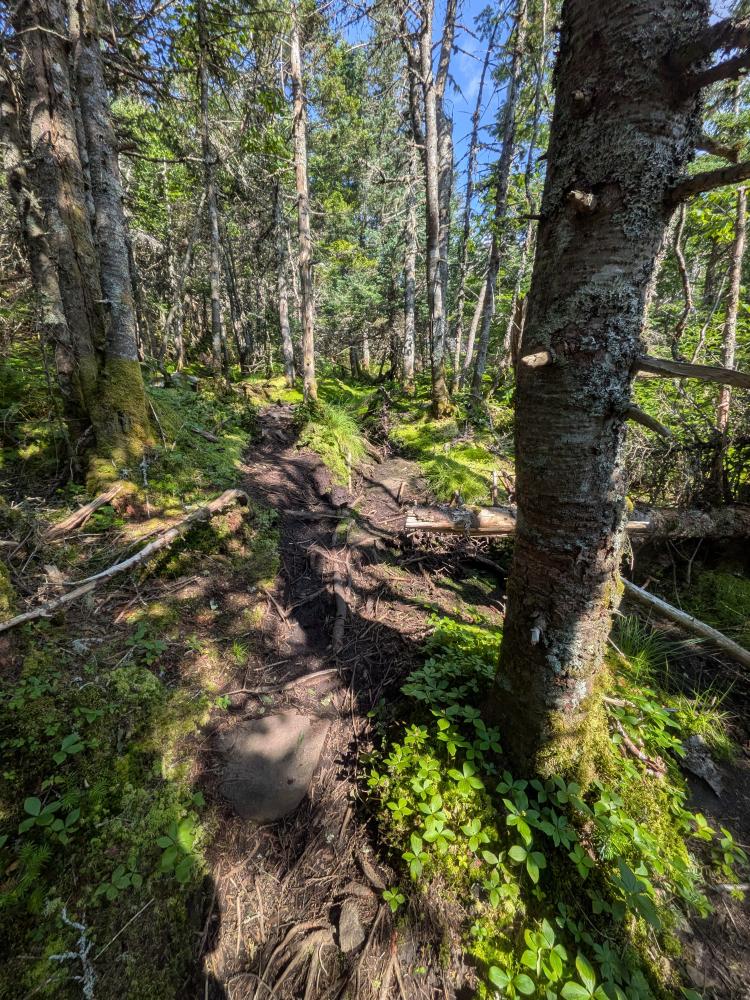
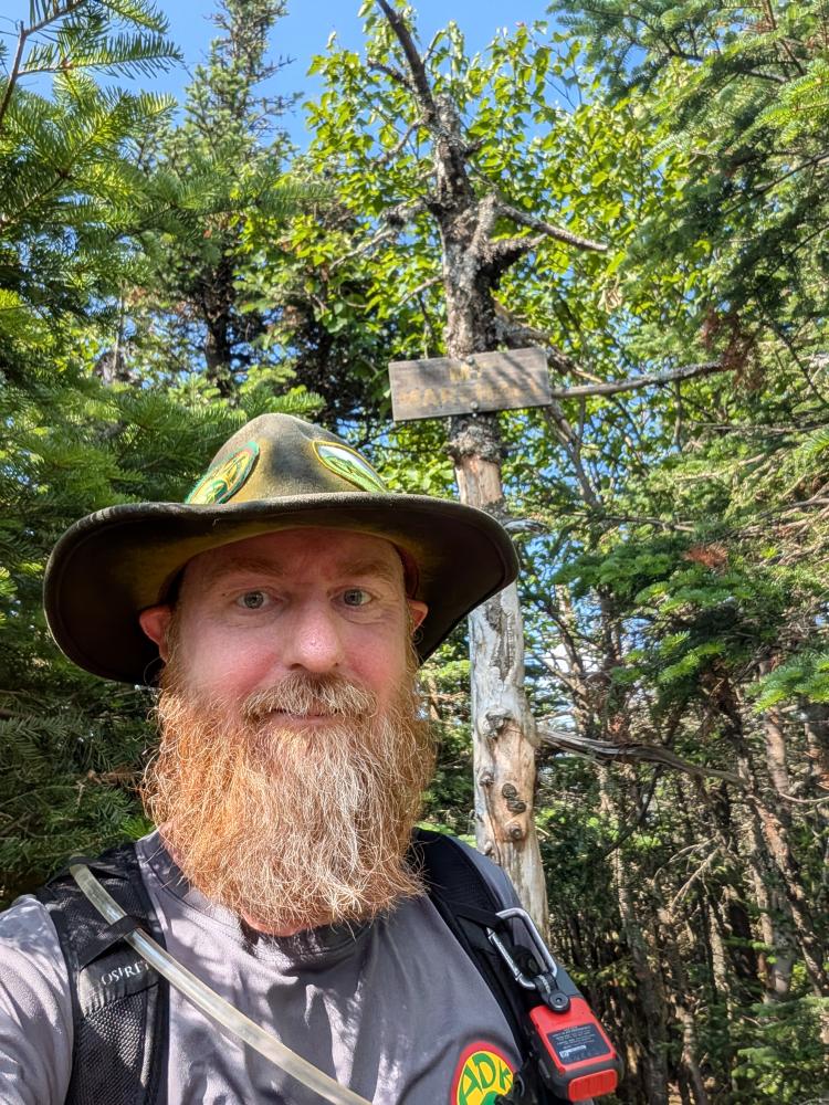
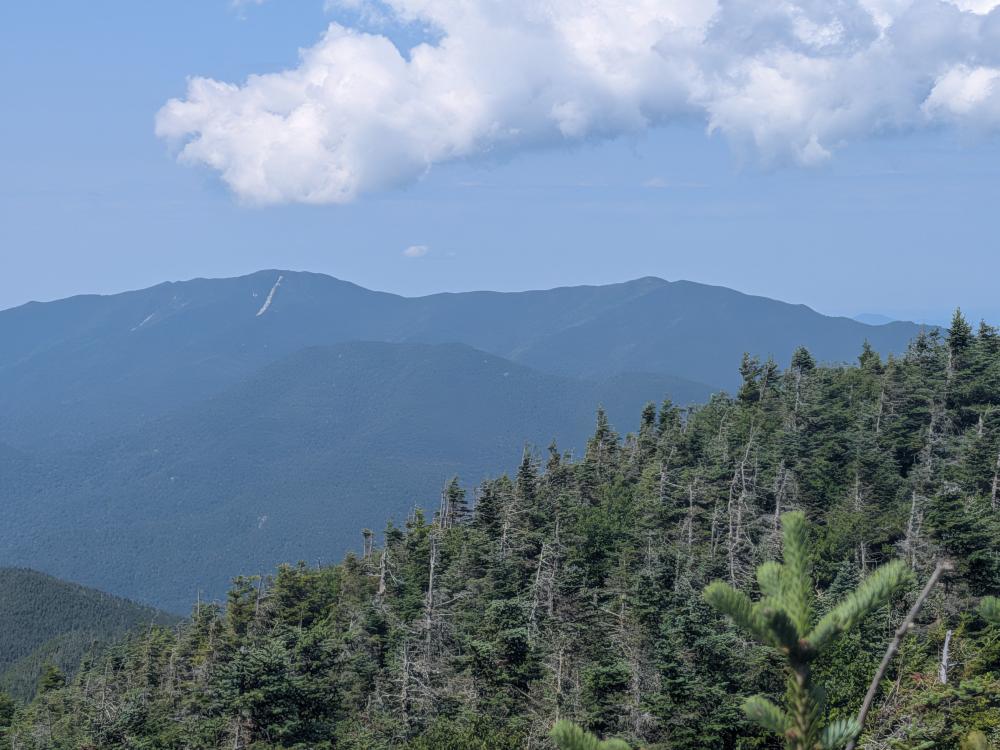
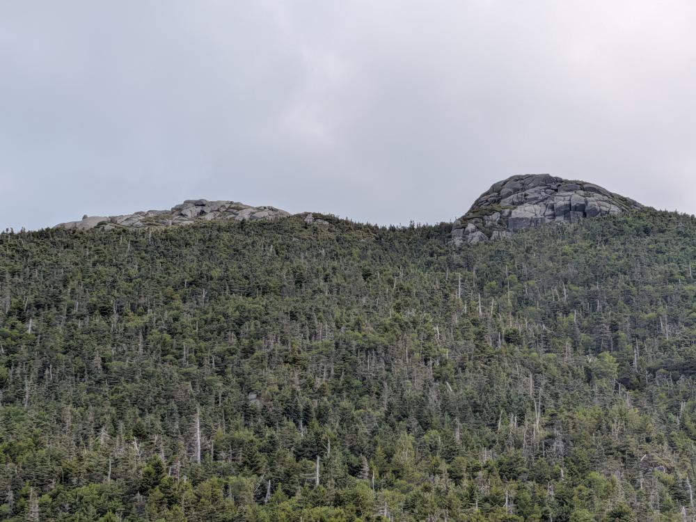
We got the the top, took our pictures, went on the short distance to the rock with a view, great views of the Santas and south. Then we turned around, backtracked to the herd path that goes across the top, and started heading to Cold Brook Pass. This herd path has seen significantly more use than when I first did it in 2020. It was easy to follow, but still somewhat close with us rubbing into the trees as we passed. The only challenging part is the ledge just after you start. There look to be 3 ways down, but the first one (on the right as you're looking down from the top) was the most promising and the one we took. Near the end of the herd path you are presented with some of the most dramatic views of Iroquois and Shepard's Tooth, and the long wall of rock they sit above. I know people have bushwhacked down from there, but if you're not accurate with where you plan to exit, and know where to exit, it will not be an easy bushwhack.
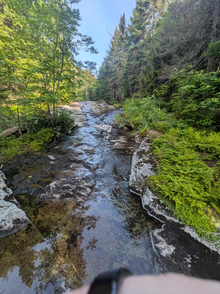
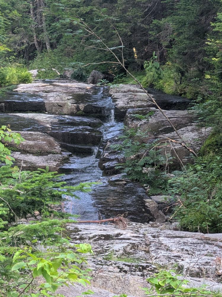
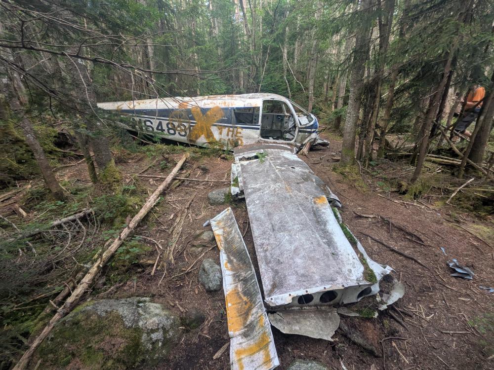
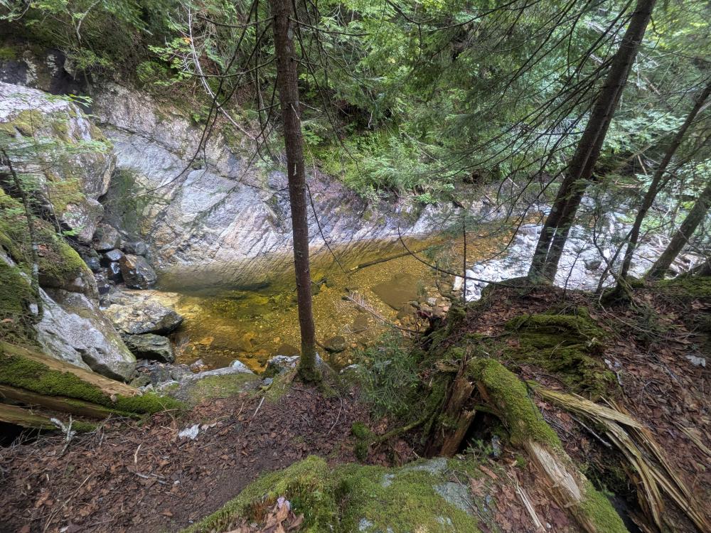
Once we reached the abandoned Cold Brook Trail, we both decided to go see the plane... it's only 0.2 miles down the trail towards Lake Colden and neither of us had actually stopped there. Interesting to see the wreck, and then look up the story of the crash in 1969. Then it was back the way we came and down the other side. We fully expected this trail to be in bad shape. Surprisingly enough, it was in pretty good shape, especially since it hasn't seen maintenance for 15 years. We suspect that with the Avalanche Pass closure, this trail is seeing more hikers than normal, and that probably helps. Some beautiful pools and water falls on the way down, which we briefly considered dipping in until we felt how cold the water was.
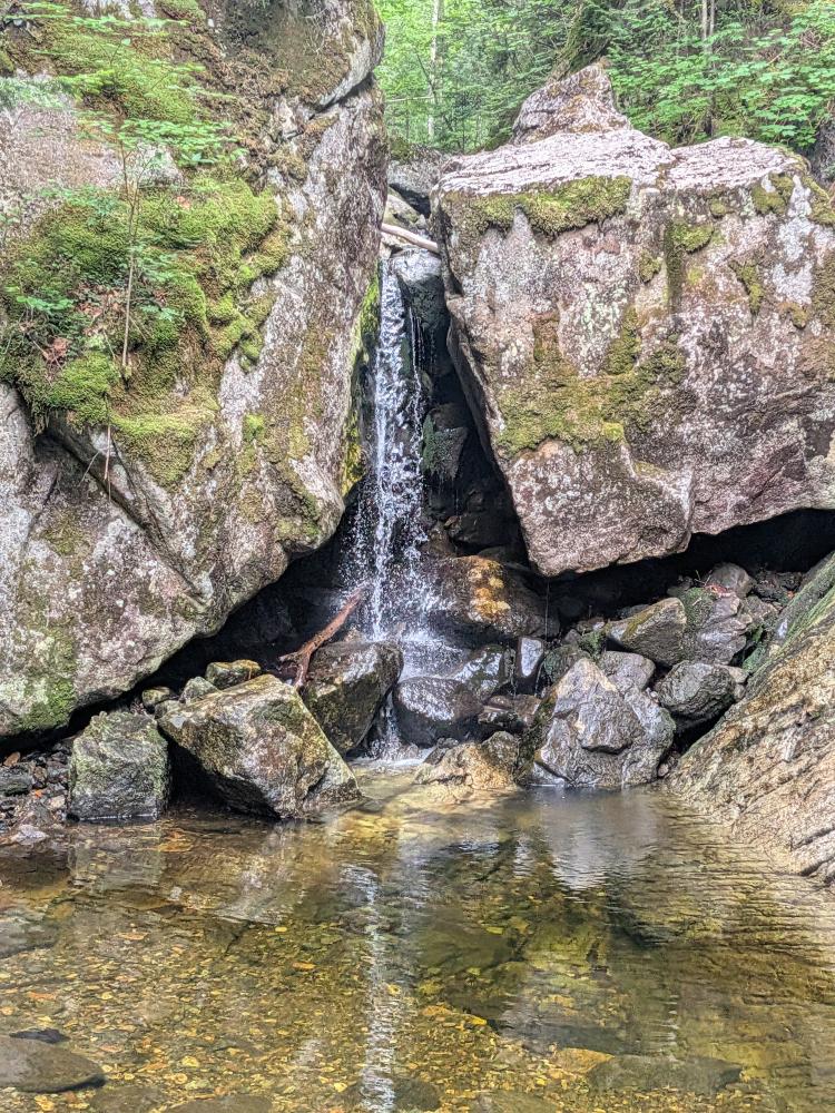
Down on the Indian Pass trail, my hiking partner decided to humor me with my quest to hike all miles of all trails in the High Peaks Wilderness, and we headed north for about 0.8 miles until we hit the trail for Wallface Ponds. Stopped at the old dam, filled water and ate a bit, then headed back to go home through Indian Pass.
Most of the Indian Pass trail we hiked was good trail, easy to follow, and not too difficult. We hit one spot where the trail was the edge of the river for a couple hundred feet which confused us, but overall, really cannot complain too much. The "fun" bit though was the climb up and down the pass itself. On the north side, you're climbing up and around huge glacial erratics, most covered with some moss, and holes all around. It reminded me a bit like crossing Avalanche Lake, but vertical. Once you get up that 0.3 miles the trail across the top is relatively easy, and then you start heading down and come to the lookout. Throughout you're presented with this amazing view of Wallface and the cliffs that give it the name. Pictures don't do it justice. After the lookout are where the ladders are (south side of the pass), and after descending about 0.3 miles, you're down on decent trail again.
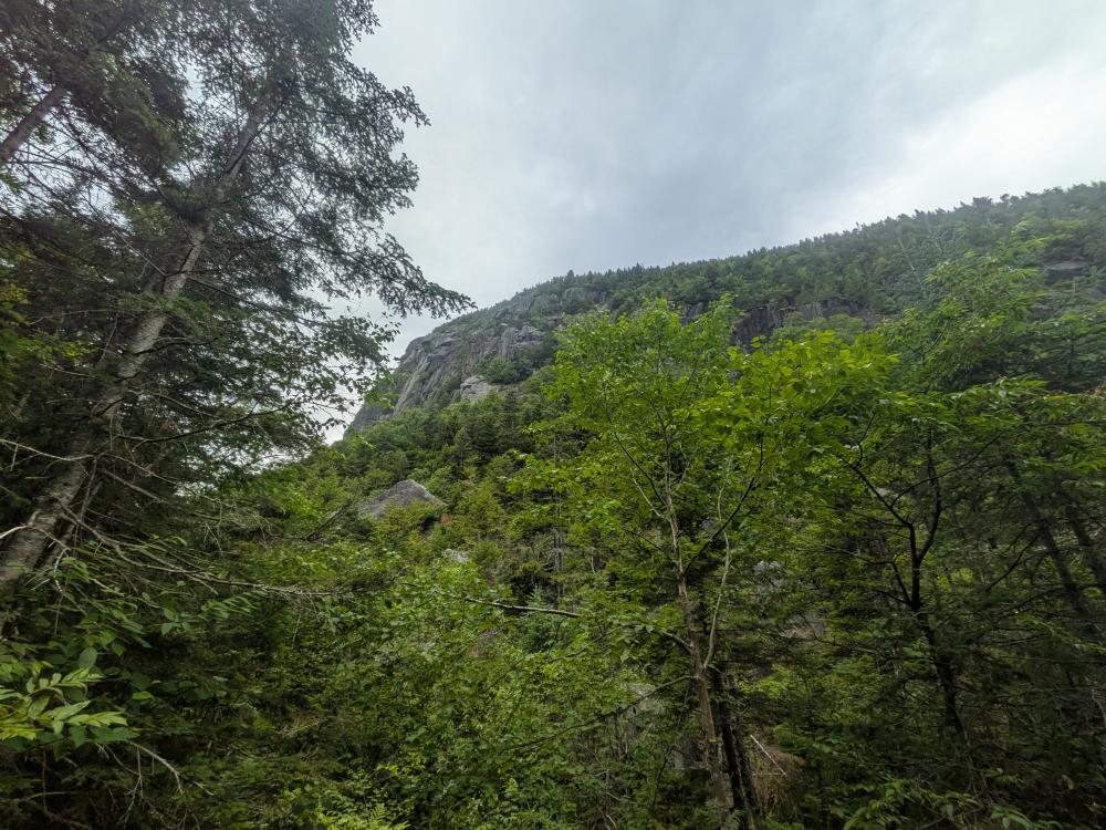

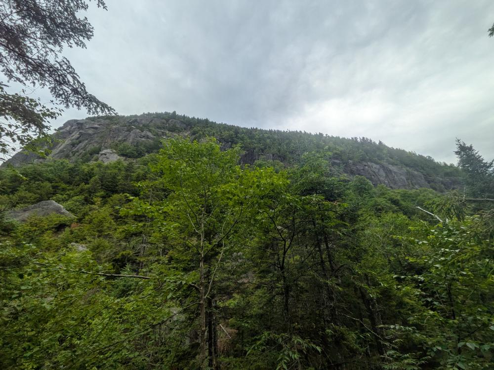
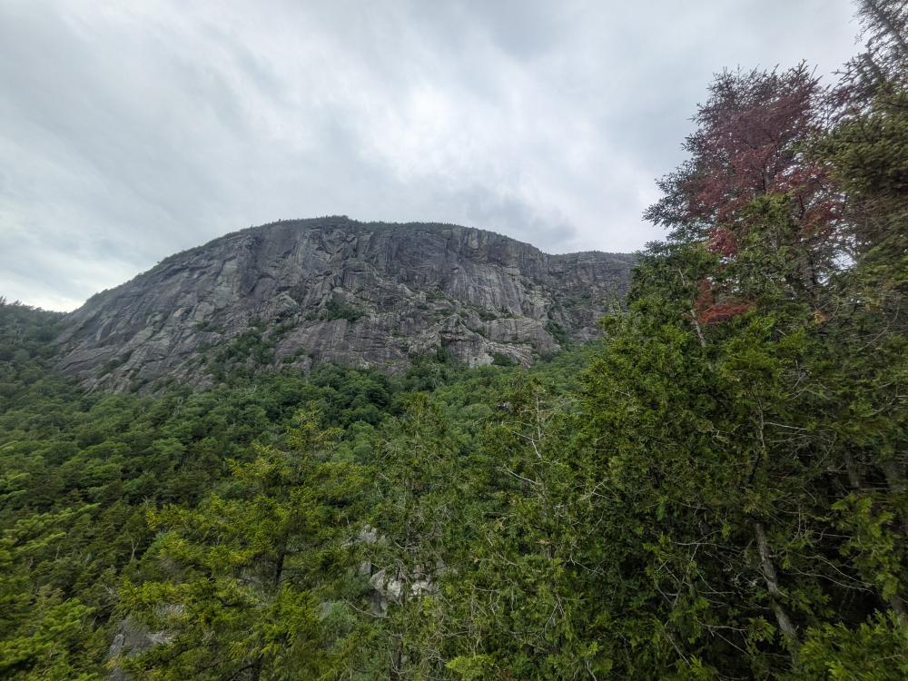
Overall, an amazing hike. The climb through the pass was probably the most difficult section in large part because we've already hiked 12+ miles. Hitting fresh would make a difference. That said though, the pass was for me the highlight of the hike.